Predictive Risk Mapping for Ludwigia peploides
Species distribution modeling, climate envelope analysis, and high-risk invasion corridors for Ludwigia peploides — identifying where the invasion frontier will move under current and projected future climates.

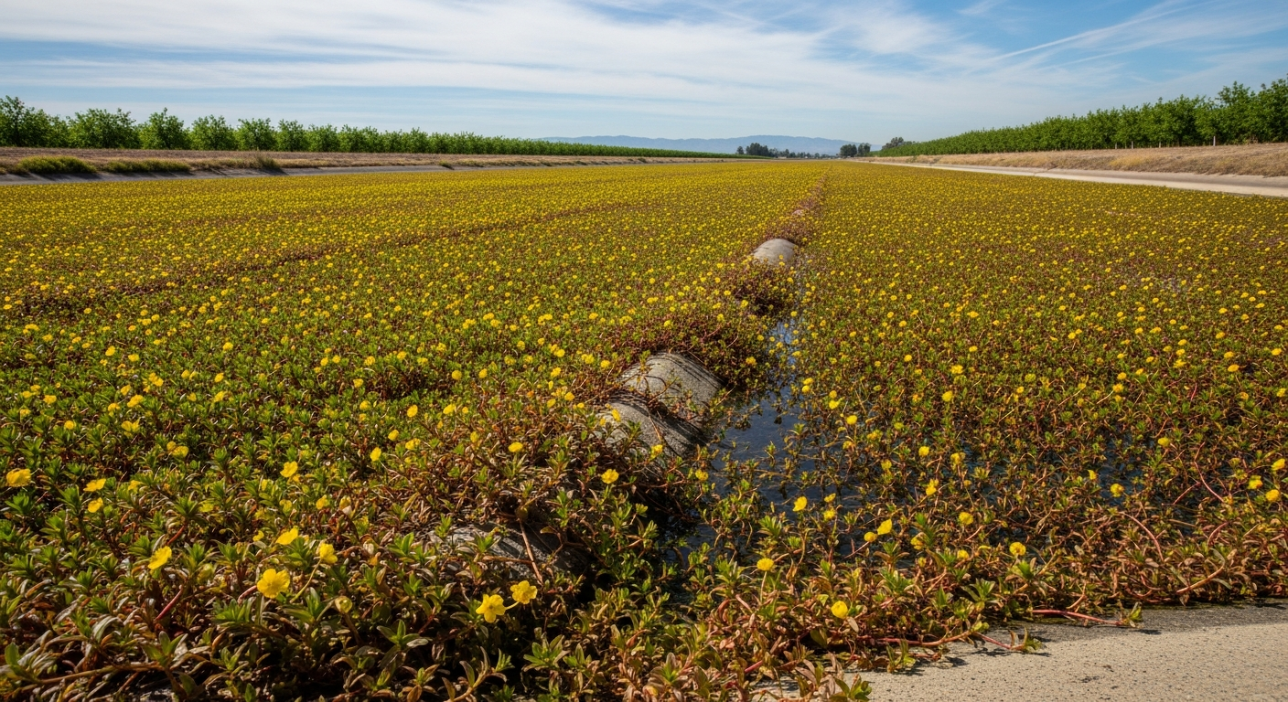
Effective invasive species management requires not just knowing where a species is, but where it will be in the future. Predictive risk mapping uses species distribution models (SDMs) to identify regions climatically suitable for Ludwigia peploides invasion — both currently uninvaded regions at immediate risk and regions that will become suitable under projected climate change. This information is essential for prioritizing prevention resources and preparing management capacity in advance of the invasion front. For current distribution data, see Where Is Ludwigia peploides Found?
Species Distribution Modeling Approaches
The most widely used SDM approach for invasive plants is MaxEnt — a maximum entropy algorithm that models species habitat suitability based on environmental variables at known occurrence locations. MaxEnt and similar algorithms have been applied to L. peploides in multiple published studies, using occurrence records from GBIF, EDDMapS, and regional herbarium databases combined with global climate data (WorldClim, CHELSA) and satellite-derived land cover and water body data. Ensemble modeling approaches — combining predictions from multiple algorithms and multiple climate projections — provide more robust risk estimates than single-model analyses. Published ensemble SDMs for L. peploides consistently project significant northward range expansion under warming scenarios.
Key Climate Variables Driving Distribution
SDM analyses consistently identify a small set of climate variables as the most important predictors of L. peploides distribution. Winter minimum temperature (coldest month mean temperature, or number of frost days) is typically the most important variable, reflecting the cold sensitivity of overwintering root crowns. Mean summer temperature and growing degree days above 15°C are important drivers of productivity and mat formation. Annual precipitation and precipitation seasonality affect habitat availability in non-floodplain settings. In water body-specific analyses, summer water temperature and water residence time are the most important predictors of invasion probability within individual water bodies.
High-Risk Regions for Future Invasion
Under current climate, SDM projections identify the following regions as climatically suitable for L. peploides but not yet widely invaded: the Pacific Northwest coast (Oregon, Washington, British Columbia); the Great Plains states (Kansas, Missouri, Iowa); mid-Atlantic and New England states (New York, Connecticut, Massachusetts); the southern Great Lakes region (Indiana, Ohio, Michigan); and major river systems in northern France and Germany. Under +2°C warming (projected for the 2050s under moderate emissions scenarios), suitable habitat expands significantly northward in all three major landmasses (North America, Europe, Asia), with the Great Lakes watershed emerging as a particularly high-risk region. The combination of extensive suitable freshwater habitat, high recreational boating activity, and proximity to established populations makes the Great Lakes a priority target for prevention.
Limitations of Predictive Models
SDMs provide probabilistic risk assessments, not certain predictions. Key limitations include: (1) Models are trained on current occurrence data, which may not fully represent the species' realized niche in its native range or its full invasive potential; (2) Model projections assume that the relationship between climate and occurrence will remain constant under changed climate — in reality, local adaptation, evolutionary change, or interaction with other invasive species may modify the realized distribution; (3) Models do not capture propagule pressure, landscape connectivity, or human management actions — all of which significantly affect whether climatically suitable areas are actually invaded; (4) Future climate projections carry inherent uncertainty, which compounds SDM uncertainty in future-scenario analyses. These limitations argue for using SDM outputs as one component of a comprehensive risk assessment rather than as precise predictive tools.
Using Risk Maps in Management
Predictive risk maps have several practical applications in L. peploides management: (1) Prioritizing early detection survey effort in high-risk areas that are currently uninvaded; (2) Justifying pre-emptive regulatory listing and trade restrictions in jurisdictions identified as high-risk before the species establishes; (3) Planning management capacity (personnel, equipment, budget) in regions projected to become suitable for invasion in the next decade; (4) Identifying water bodies most at risk within a region for prioritizing boat inspection resources. The combination of risk mapping with eDNA monitoring at high-risk sites represents the state of the art in prevention-oriented invasion management. See also Prevention and Biosecurity for practical implementation.
Conclusion
Predictive risk mapping provides essential forward-looking information for L. peploides invasion management — identifying where the invasion front will likely move and where prevention investments will have the highest return. Published models consistently project significant northward range expansion under warming climates, with the Great Lakes watershed and Pacific Northwest emerging as particularly high-priority regions for prevention investment. Integrating risk mapping outputs into regional management planning is a cost-effective strategy for getting ahead of the invasion before it reaches its full projected range.