Newly Reported Ludwigia peploides Invasions
How to report new Ludwigia peploides occurrences, the reporting tools available globally, what happens after a report is filed, and the critical role of citizen science in detecting new invasion fronts.
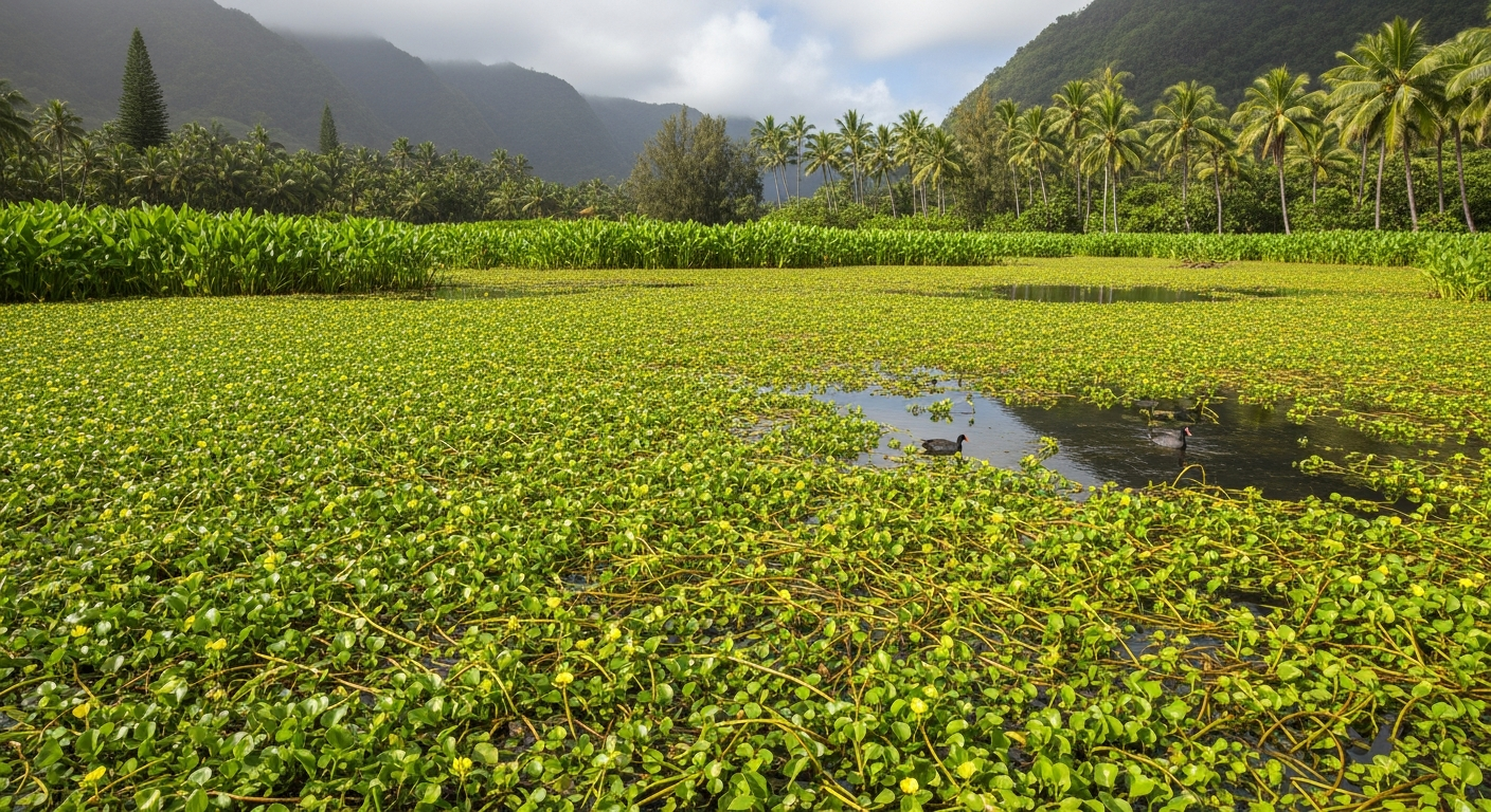
Detecting new Ludwigia peploides occurrences early — before infestations grow beyond the range of effective rapid response — is one of the highest-leverage actions in invasive species management. The surveillance network that makes early detection possible depends critically on reports from the public, from land managers, and from recreational users of water bodies across the invasion range and at the invasion frontier. This article explains how to report new occurrences, the tools available for doing so, and how your data is used by management agencies. For identification guidance to confirm your sighting, see How to Identify Creeping Water Primrose.
How to Report a New Occurrence
Reporting a new L. peploides occurrence requires three things: evidence (photographs of diagnostic features), location (GPS coordinates), and a reporting platform. The most important photographs to take are: (1) a wide shot showing the growth habit and extent of the infestation; (2) a close-up of a stem node showing pneumatophores (if present) or the leaf attachment; (3) a leaf close-up showing the shiny surface and alternate arrangement; and (4) a flower or fruit photograph if either is present. Use your smartphone's GPS function to record the coordinates — most modern smartphones record GPS coordinates in photograph metadata automatically. If you cannot confirm the identification from these features alone, still report the sighting with photographs and note that identification is uncertain — expert confirmation can follow.
Reporting Tools and Platforms
EDDMapS (Early Detection and Distribution Mapping System) — available at www.eddmaps.org and through the EDDMapS smartphone app — is the primary invasive species reporting platform for the United States. It covers aquatic invasive plants including L. peploides and feeds directly into state and federal management databases. Reports include GPS mapping, photograph upload, and habitat description. iNaturalist (www.inaturalist.org) is a global citizen science platform that accepts occurrence reports for any organism including aquatic invasive plants. Observations confirmed by multiple expert identifiers reach "Research Grade" status and are exported to the Global Biodiversity Information Facility (GBIF), a major global biodiversity database used by researchers and managers worldwide. State-specific tools exist in many US states — California, Oregon, Washington, and Florida all have state invasive species reporting systems that can be used in parallel with EDDMapS.
What Happens After You Report
The path from citizen observation to management action varies by jurisdiction and by the novelty of the report. For most reports in areas with known existing populations, data is logged, mapped, and used to track infestation extent over time. For new county records or occurrences in water bodies with no prior documentation, reports typically trigger expert review — a regional botanist or invasive species specialist will either verify the identification from photographs or arrange a follow-up field visit. Confirmed new records in jurisdictions with rapid response programs trigger agency notification and potential management action, ideally within the same growing season as the initial report. Several states have dedicated rapid response teams that can mobilize within days of a new confirmed record in a high-priority area. Your report may make a concrete difference in management outcomes if the infestation is caught early.
Recent Notable New Reports
The invasion front for L. peploides in North America continues to advance northward. Recent years have seen new confirmed records in states and regions where the species was not previously established, including portions of the Pacific Northwest beyond previously known range limits, mid-Atlantic states, and emerging inland populations in states with previously only coastal records. In Europe, new records from Germany and Belgium represent the northward expansion of the EU invasion front. In Asia, new records from eastern China document expansion into previously uninvaded watersheds. All new records are compiled in global databases (GBIF, EDDMapS) and in national invasive species tracking systems. For the most current distribution data, check EDDMapS or GBIF directly, as databases are updated as new records are added.
The Role of Citizen Science
Citizen science — the contribution of observational data by members of the public through organized platforms — plays an increasingly critical role in invasive species detection and tracking. Professional agency surveys can cover only a tiny fraction of the water bodies at risk from Ludwigia peploides invasion. Recreational users — anglers, kayakers, paddleboarders, birdwatchers, swimmers — collectively visit far more water bodies and may encounter new Ludwigia infestations before professional surveyors do. Studies of invasive plant detection timing consistently find that citizen science platforms detect new populations earlier than agency surveys at the regional scale. For citizen science to be maximally effective, observers need identification training — the kind provided by this guide and by the Visual Identification Guide — combined with accessible, low-friction reporting tools.
Conclusion
Reporting new Ludwigia peploides occurrences promptly through EDDMapS, iNaturalist, or state invasive species programs is one of the most impactful actions that any individual can take in support of invasive plant management. The surveillance network that enables early detection and rapid response depends on the contributions of thousands of observers — making every report potentially significant for protecting the water body where the observation was made and the broader network of water bodies connected to it. Know the identification features, carry your smartphone, and report what you find.